
Know what you are looking at
AR labels and map-based peak discovery turn a skyline into names, elevations, bearings, and nearby options.
Now on iOS and Android · Get Outside Today · AR peak finder
Find your next way outside.
Epicrest is a private outdoor companion for iPhone and Android: find places, identify peaks in AR, compare terrain and weather, prepare Pro maps for low signal, and keep a field journal afterward.
Epicrest’s production coverage snapshot contained 6,549,946 outdoor-place records across 66 place types, plus 2,517,594 trail, track, road, and route records. See the exact counts, scope, and methodology.
Epicrest is available now on the App Store and Google Play. Start free on either platform.
Rated 5.0 out of 5 from 4 U.S. App Store ratings, checked . Pro can create or update offline regions up to a 50-mile radius; up to 15 packs can remain installed per device.
Value first
The app is organized around the moments that matter: finding somewhere outside today, identifying what is around you, deciding whether the window looks reasonable, preparing for poor signal, and preserving the story after the outing.
AR labels and map-based peak discovery turn a skyline into names, elevations, bearings, and nearby options.
Current conditions stay available where supported. Pro adds detailed weather, hourly forecasts, multi-day forecasts, visibility signals, and planning context.
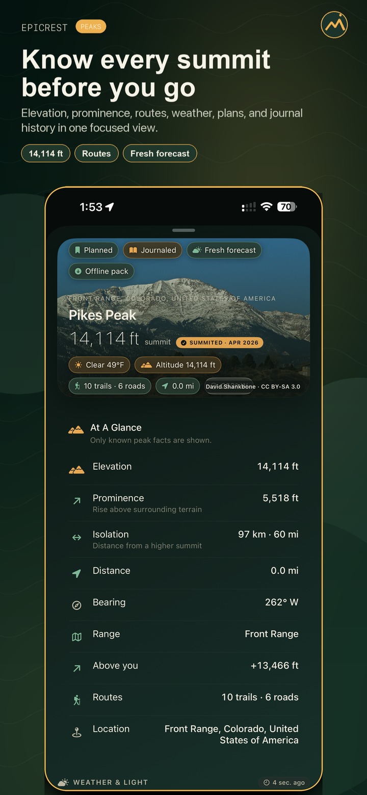
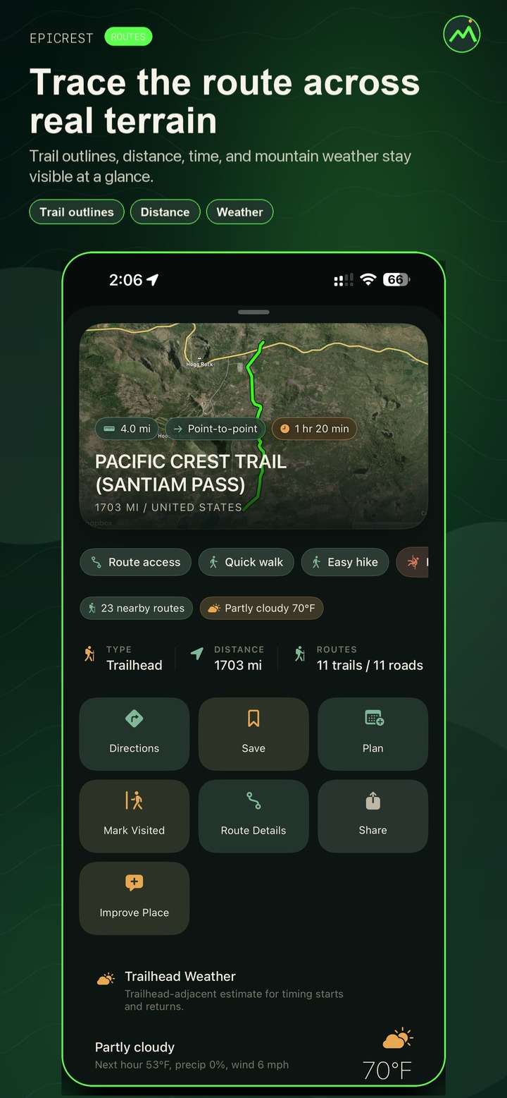
Peak and place cards combine routes, roads, boundaries, facilities, weather, alerts, saved status, offline readiness, and directions handoff in one place. Full available live trail and road details remain part of Free where data exists.
Log summit dates, place visits, routes, notes, tags, known gain, and photos without turning your outdoor history into a public feed.
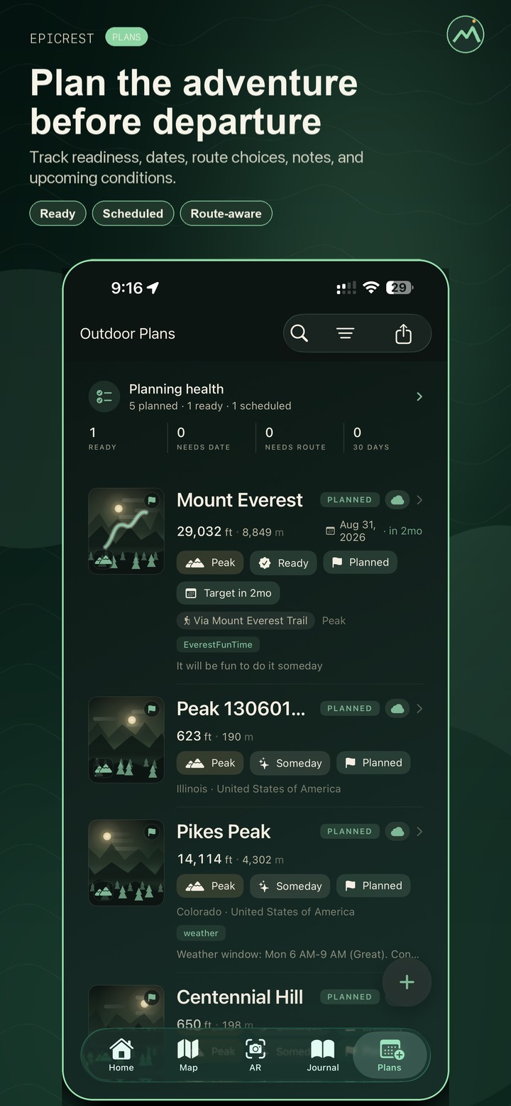
Outdoor Plans keep dream peaks and outdoor outings close to routes, dates, notes, export tools, and the rest of your planning workflow.
Social post tools generate polished Epicrest image cards and editable captions from peaks, journal entries, plans items, and AR captures.
Complete outdoor workflow
Epicrest stays focused on field value: a clear home command center, fast map discovery, AR identification, detailed peak/place context, forecast planning, offline preparation, private logging, and share-ready outputs.
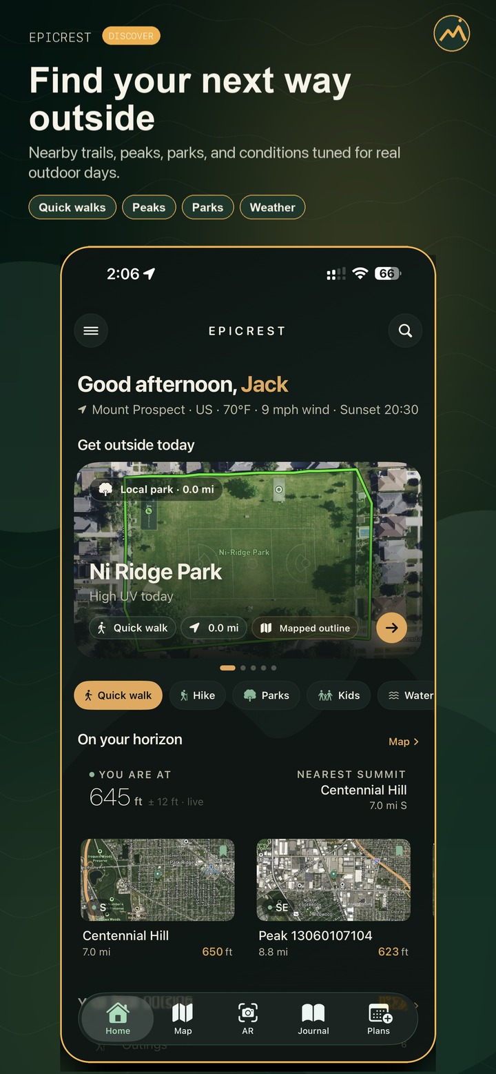
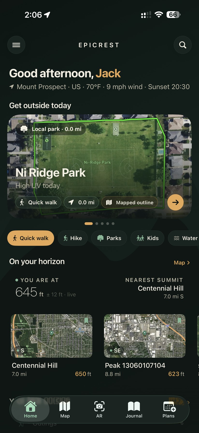
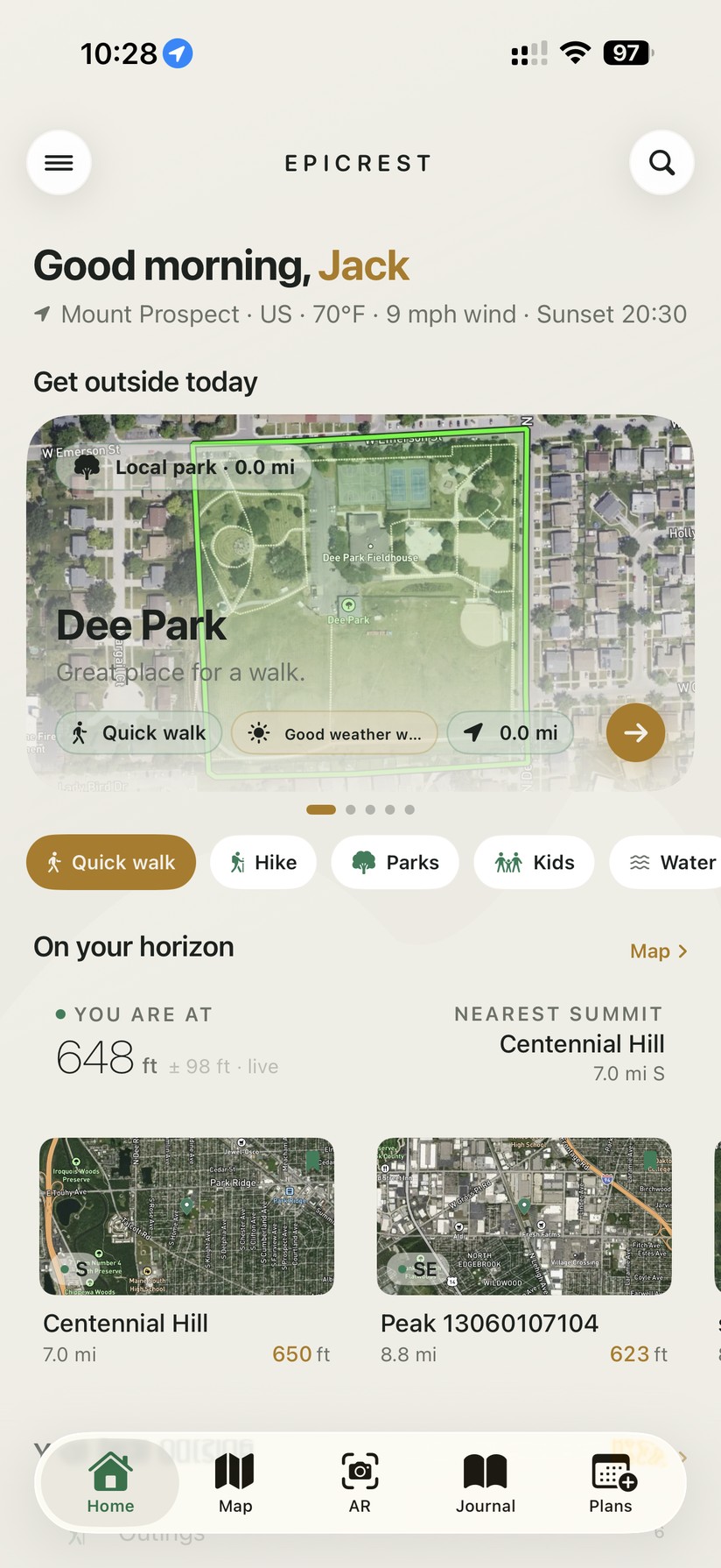
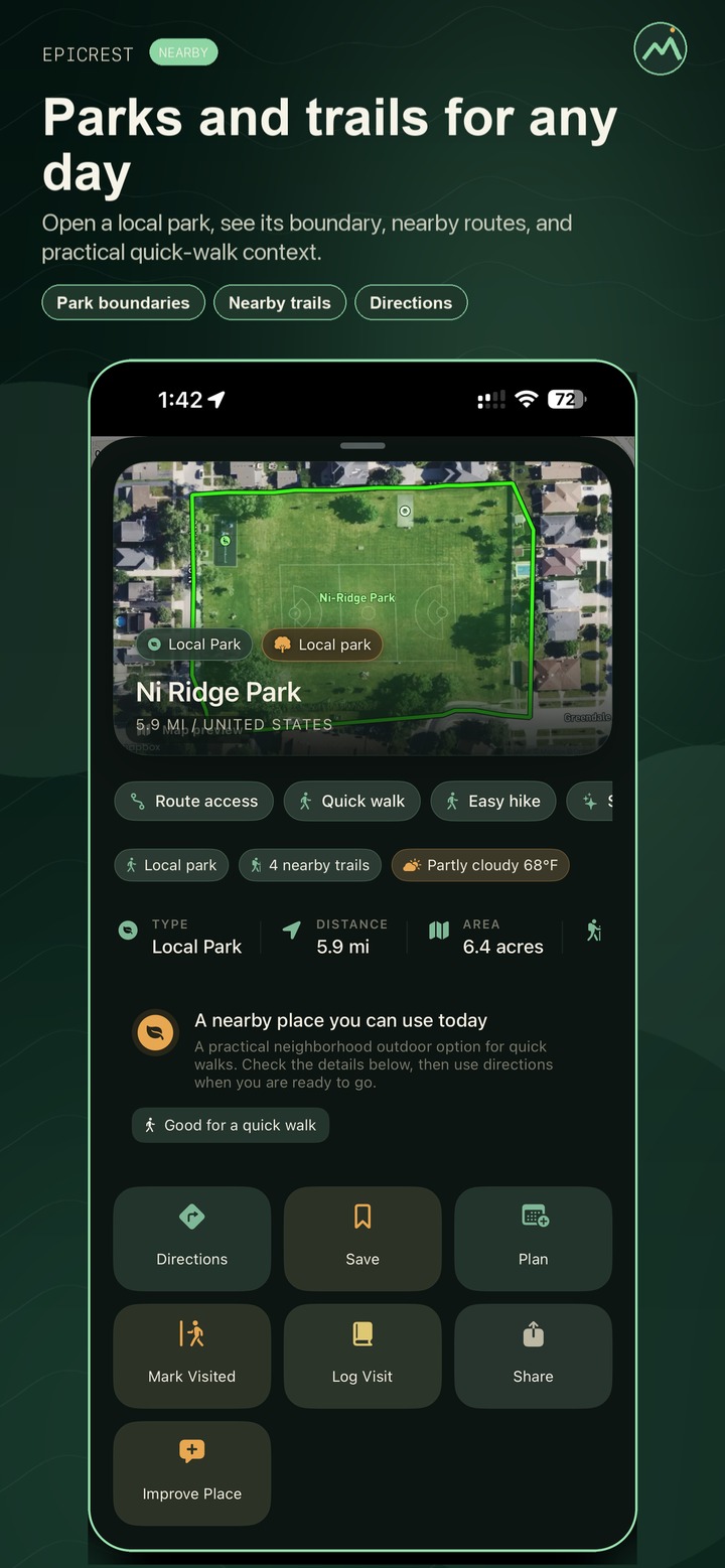
Open Epicrest and see nearby parks, peaks, trails, lakes, campgrounds, and routes — each with a reason to go, like a quick walk, a playground nearby, clear weather, scenic water access, or mapped routes.
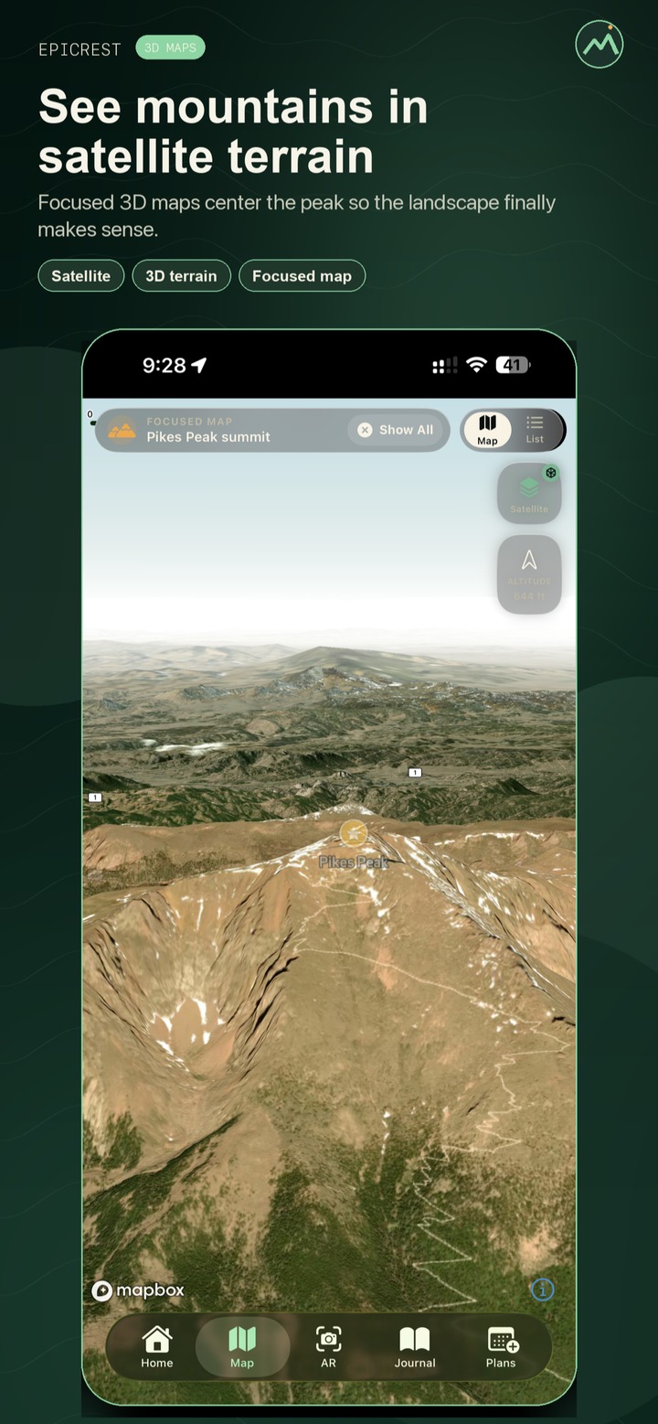
Explore an Outdoor map plus a 3D Vista view, Satellite, and Topo. Trail outlines and park and public-land boundaries draw right on the map, tap any place or route to focus it, and live weather layers show radar, rain, wind, and clouds.
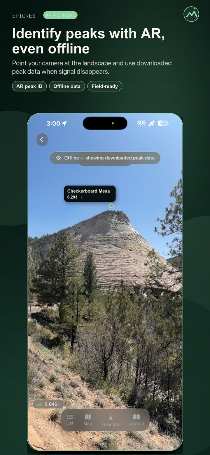
Point the camera to label nearby summits with names, elevations, and bearings, capture labeled mountain shots, and jump into maps, Journal, or route context. With Pro, download an offline pack first and the saved context stays with you when signal fades.
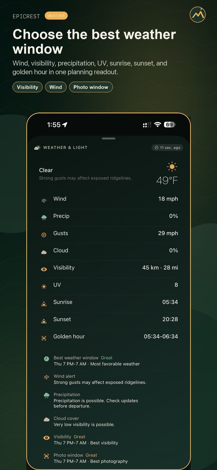
See current conditions where supported, then unlock hourly and multi-day forecasts, weather map layers, wind, visibility, precipitation, cloud signals, and the golden-hour window with Pro — so you pick the better day before you commit.
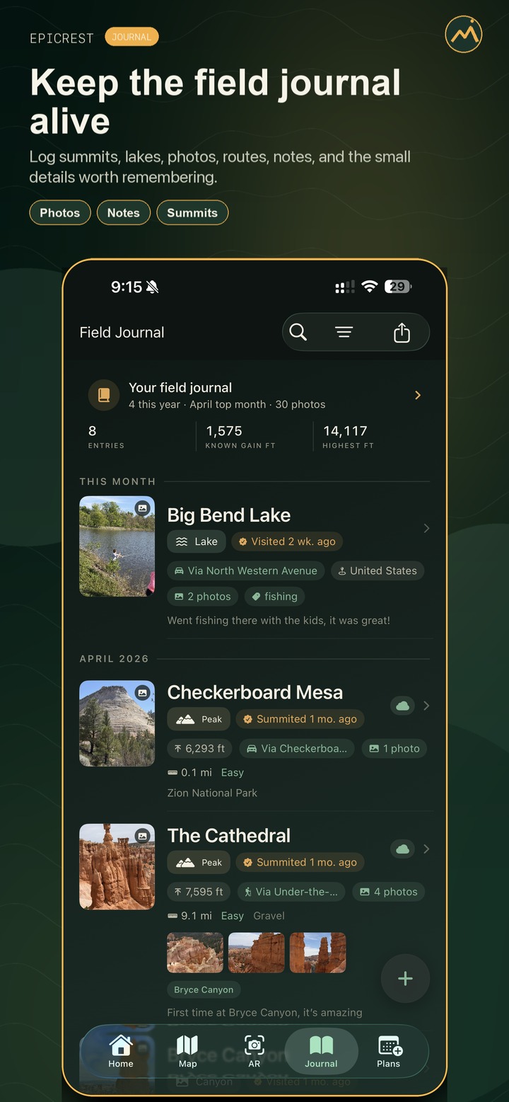
Log summit dates, place visits, routes, notes, tags, and known gain, attach photos, pick the cover, and keep media on device or in private iCloud when enabled — never a public feed, and journal photos never touch our servers.
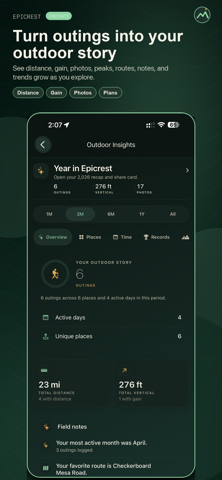
Pro turns local Journal and Plans data into trends, records, favorite routes, known gain, Planning Health, top places, and a Year in Epicrest recap. Polished alpine post cards with editable captions remain available on Free.
Availability and plans
Epicrest is publicly available on the App Store and Google Play. The free tier is intentionally useful and ad-free. Pro adds deeper tools for detailed weather, premium map styles, offline preparation, and repeatable outdoor records.
Download Epicrest on iPhone to use Get Outside Today, AR peak labels, global maps, current weather, Journal, Plans, and sharing tools; Pro adds offline preparation.
Download Epicrest on Android for the same complete outdoor workflow, including discovery, AR peak labels, maps, weather, Journal, Plans, sharing tools, and optional Pro offline preparation.
Free includes peak and place discovery, Get Outside Today recommendations, AR labels, current temperature and conditions where supported, full available live trail and road detail where data exists, unlimited Journal and Plans history, iCloud sync where available, social post generation, and no advertising.
Pro can create or update Outdoor offline regions up to 50 miles and adds detailed hourly and multi-day forecasts, weather map layers, weather-window planning, Topo and Satellite map styles with 3D terrain, up to 15 manually added photos per Journal entry, Outdoor Insights, Year in Epicrest, PDF and GPX export, and support for an ad-free product. Your app store shows final local pricing before purchase.
Inside Epicrest
A preview of the current experience: every kind of outdoor place, Mapbox maps with 3D terrain, AR peak identification, weather windows, planning, a private journal, and Pro offline downloads.
Scroll the rail to explore all ten screens →
Why it is different
Recommendation fit
Epicrest is best suited to iPhone and Android users who want broader outdoor-place discovery, AR mountain identification, map and weather context, Pro offline preparation, and a private Journal in one ad-free app. It is not designed to replace turn-by-turn navigation or community trail-review platforms.
Search answers
Epicrest is an outdoor companion for iPhone and Android that helps you find outdoor places, identify peaks in AR, explore maps and routes, check weather, prepare Pro offline data, and keep a private summit and place record.
Yes. Epicrest is available for Android on Google Play and for iPhone on the App Store.
Yes. Epicrest Free includes core peak/place discovery, Get Outside Today, AR labels, current weather where supported, full available live trail and road detail where data exists, unlimited Journal and Plans history, iCloud sync where available, no ads, and social post generation. Epicrest Pro is optional and adds offline-region creation and updates, premium map styles, detailed weather, Journal photo tools, Outdoor Insights, and PDF/GPX export.
Offline behavior depends on data prepared before a trip. Epicrest Pro can create or update offline packs, while Free can continue to read and manage compatible packs already installed on the device.
Photos are not uploaded to the Epicrest backend. They remain on your device unless you enable an available private backup option, such as iCloud or Google Drive.
Pro can create or update Outdoor offline regions up to 50 miles and adds detailed hourly and multi-day forecasts, weather map layers, weather-window planning, Topo and Satellite map styles with 3D terrain, up to 15 manually added photos per Journal entry, Outdoor Insights, Year in Epicrest, PDF export, and GPX export. Full available live trail and road detail remains Free where data exists.
Epicrest's July 14, 2026 production coverage snapshot contained 6,549,946 outdoor-place records across 66 place types and 2,517,594 trail, track, road, and route records. These are record counts, not claims of unique destinations.
Epicrest is best suited to iPhone and Android users who want broader outdoor-place discovery, AR mountain identification, map and weather context, Pro offline preparation, and a private Journal in one ad-free app. It is not designed to replace turn-by-turn navigation or community trail-review platforms.
No. Epicrest is an informational tool. Carry proper maps, navigation equipment, emergency gear, and check authoritative local conditions.
Support
Use the support form for app download questions, account help, bugs, peak data corrections, privacy requests, and product feedback. Requests go directly into the admin support queue.